

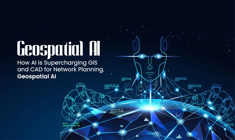
Geospatial AI: How AI is Supercharging GIS and CAD for Network Planning
As the leading GIS & CAD Company in USA, Canada and Europe, we understand that the network planners mostly relied on two foundational tools such as GIS and CAD. GIS offered the where background, which included geography, population and existing infrastructure. CAD provides the how: detailed engineering drawings for building. The procedure was manual, time-consuming and strongly dependent on expert intuition. Planners would meticulously evaluate maps, cross-reference datasets, and create designs, resulting in difficulties outcomes.
But now it will be easier with Geospatial AI (Geo AI): This powerful combination of artificial intelligence, machine learning, and spatial data not only improves but fully reinvents this process. Geo AI is revolutionizing GIS and CAD, transitioning from descriptive mapping to predictive and prescriptive planning, especially in areas like tower mapping and fiber network planning in USA, Canada & Europe.
How Geo AI speeds up the process
Geospatial artificial intelligence (Geo AI) is the application of artificial intelligence (AI) along with geographical data, research, and technology to improve real-world understanding of economic prospects, environmental implications, and operational risks. Organizations are upgrading processes to run at scale by automating data generation and providing accessible spatial tools and algorithms.
Geospatial AI incorporates automation, prediction, and optimization at every stage. It’s like giving your GIS a strong brain and your CAD an autopilot.
Furthermore, Geo AI has tremendous forecasting skills by identifying complex patterns in previous data. It may predict where network demand will peak by examining growth trends, event dates, and new construction plans, allowing a utility firm to strengthen a grid before a transformer fails or a telecom to provide capacity for a major public event. This shifts the entire industry from a reactive to a truly proactive mindset.
The design phase is transformed as AI powers CAD with generative optimization. Instead of an engineer sketching a single path, algorithms may quickly compute millions of different pipeline or cable routes, determining the best balance of cost, geographical difficulties, closeness to existing infrastructure, and regulatory compliance. The engineer is thus raised from drafter to strategic overseer, fine-tuning an AI-optimized proposal rather than beginning from scratch.
This technology is already being used to make 5G networks, FTTH and smart energy grids that can fix themselves possible in the real world. The future of network planning does not include replacing GIS specialists or CAD engineers, but rather providing them with advanced tools that undertake the heavy lifting of data processing. Their position is growing into that of strategic administrators of AI models and interpreters of complex results, ultimately making value-driven decisions.
Geospatial AI is the important step forward that will turn our static maps into dynamic, smart planning systems for Fiber Network Planning in USA, Canada and Europe. This will allow us to build the better, more efficient and more resilient networks that our future needs.